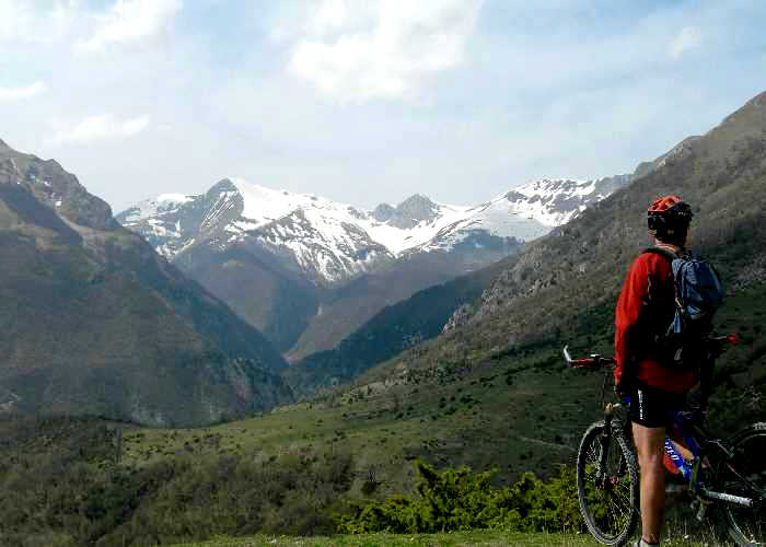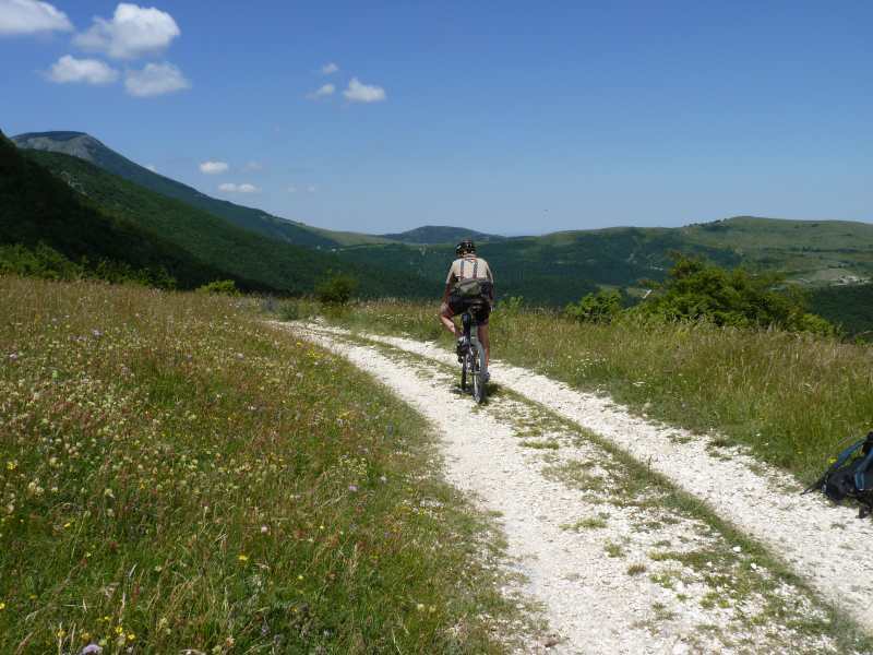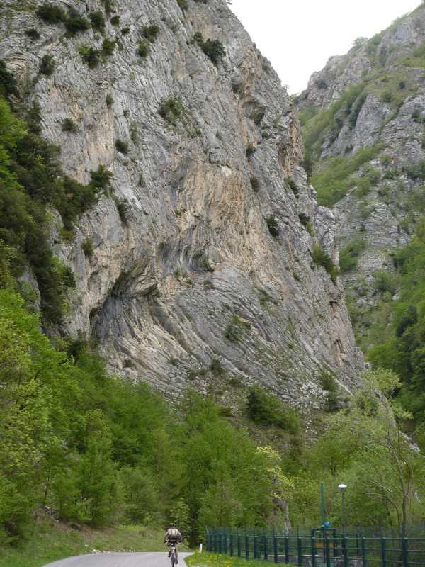
On the road to Garulla from Sarnano - the view of Pizzo Meta in the Sibillini Mountains, Le Marche, Italy
Self-catering holiday apartments near the Sibillini Mountains in Le Marche, Italy
Cycling Resources in Le Marche
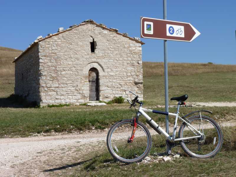
There is a web portal of the Marche Region dedicated to the outdoors including cycling. The website is in English as well as Italian. The portal has a number of routes suitable for a range of bikes. There is an app for you to download and it also contains some information about bike rental, repairs and guided tours.
The website sibillinibikemap has a wide range of routes for gravel, road and off-road as well as some multi-day.
For those of you who would like to cycle in the mountains but lack the required fitness, it is possible to hire e-bikes in Sarnano. In Ussita (on the other side of the mountain range) you can hire e-bikes from Biocycle-Sibillini.
Mountain biking in the Sibillini Mountains
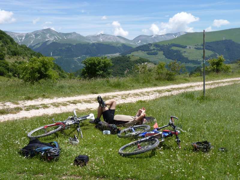
There are several sources for MTB routes available online. A group in the town of Sarnano has identified ten routes starting in the town, which can be used for walking or cycling. These routes have been graded according to difficulty. They are described online and are a good way of getting to know the area around Sarnano. They do tend to get overgrown in summer however.For the more adventurous there are routes in and around the mountains. The Sibillini National Park has a list on its website. The descriptions can be viewed here along with a map and downloadable GPS file. The National Park also sell a book of these routes although it is currently only available in Italian. There is also the a bike packing route of 228km called the Grand Anello - a circular route around the mountain range.
Cycling in the Sibillini Mountains
For videos go onto Youtube and search for "MTB Monti Sibillini". You will find a number of videos shot by local groups from which you can get an idea of the terrain here.
There are two areas for downhill riding in the area. In the hills above Sarnano is the Sibillini Park and on the other side of the mountain range near Ussita is the Frontignano Bike Park. The Sibillini Park Enduro in Sarnano offer a shuttle bus service.
Cycle tourism in Le Marche
For those on road bikes some towns have now worked out routes that take you past interesting cultural sites. These are available online.
Bicycle routes in Le Marche.
Cycle routes around the small towns of Macerata to download in German, English or Italian
The big cycling event of the year in the area is the Gran Fondo dei Sibillini that starts in Calderola. There are three routes of varying lengths and they are available online for you to try out for yourself.
Make up your own cycle routes!
There are a number of free software applications that allow you to work out a route, get a summary of the length of the route and the amount of elevation involved and ensure that the route is viable. The routes can also be downloaded to your GPS. At Casa Carotondo we are keen cyclists ourselves so would be happy to help you plan where to go.
There is a 1:50000 map available from Kompass of the area. The Sibillini National Park also sells a 1:50000 map. When using Italian route descriptions, check the elevation carefully before embarking on it. The term dislivello is often used and means the difference between ascent and descent and not the actual total ascent or descent, which in the Sibillini can be quite a lot.
